


31 km | 41 km-effort


User


FREE GPS app for hiking
 SityTrail
IGN / Geographical institutes
SityTrail World
The world is yours!
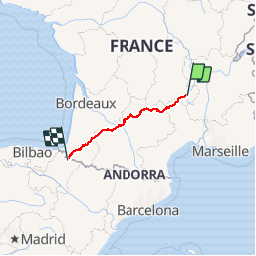
Trail Walking of 787 km to be discovered at Auvergne-Rhône-Alpes, Haute-Loire, Le Puy-en-Velay. This trail is proposed by tracegps.
Le Puy en Velay -> Roncevaux (Espagne) Durée variable suivant marcheur (Environ 32 jours suivant la majorité des livres) Ma trace n'est pas toujours pile-poil sur le GR65 car les conditions météo n'étaient pas de la partie : - neige (demi-tour Nasbinals Aubrac) - pluie, vent sur la majorité du trajet en mai - bien sur, les erreurs de trajet (Estaing). Mais ça donne une bonne indication. Si j'ai le temps, je vais doubler la trace avec le trajet en corrigeant mes petits écarts. Pour info ( GPS Etrex Legend HCx, 2 piles alcaline LR6 pour 3 jours). Le GPS était juste pour l'enregistrement et me localiser en cas de problème de santé.

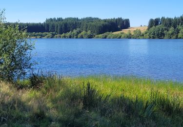
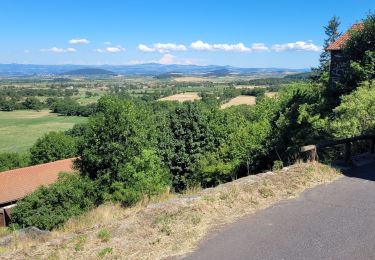
Walking

Walking

Walking

Walking
Walking
Walking
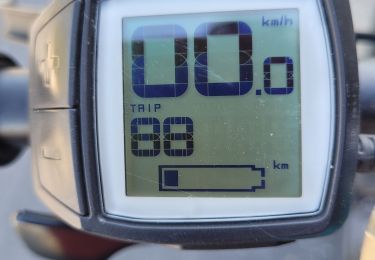
Electric bike
Electric bike
Electric bike